PORTUGUESE
EXPERIMENTAL SITES
In Portugal, several
experimental sites were established, being the one in Rio Frio the
most relevant one, where the IOP2 (Intensive Observation Period 2) took
place
in the summer of 2003:
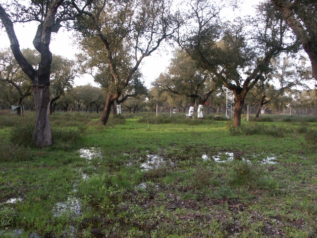
RIO FRIO FIELD
SITE
Location:
the
field plot is located near the town of Pinhal Novo, between Lisbon and Setúbal and
between the estuaries of Tagus (Tejo) and
Sado. Coordinates
are 38o38' N (latitude), 8o51'
W (longitude), 30 m
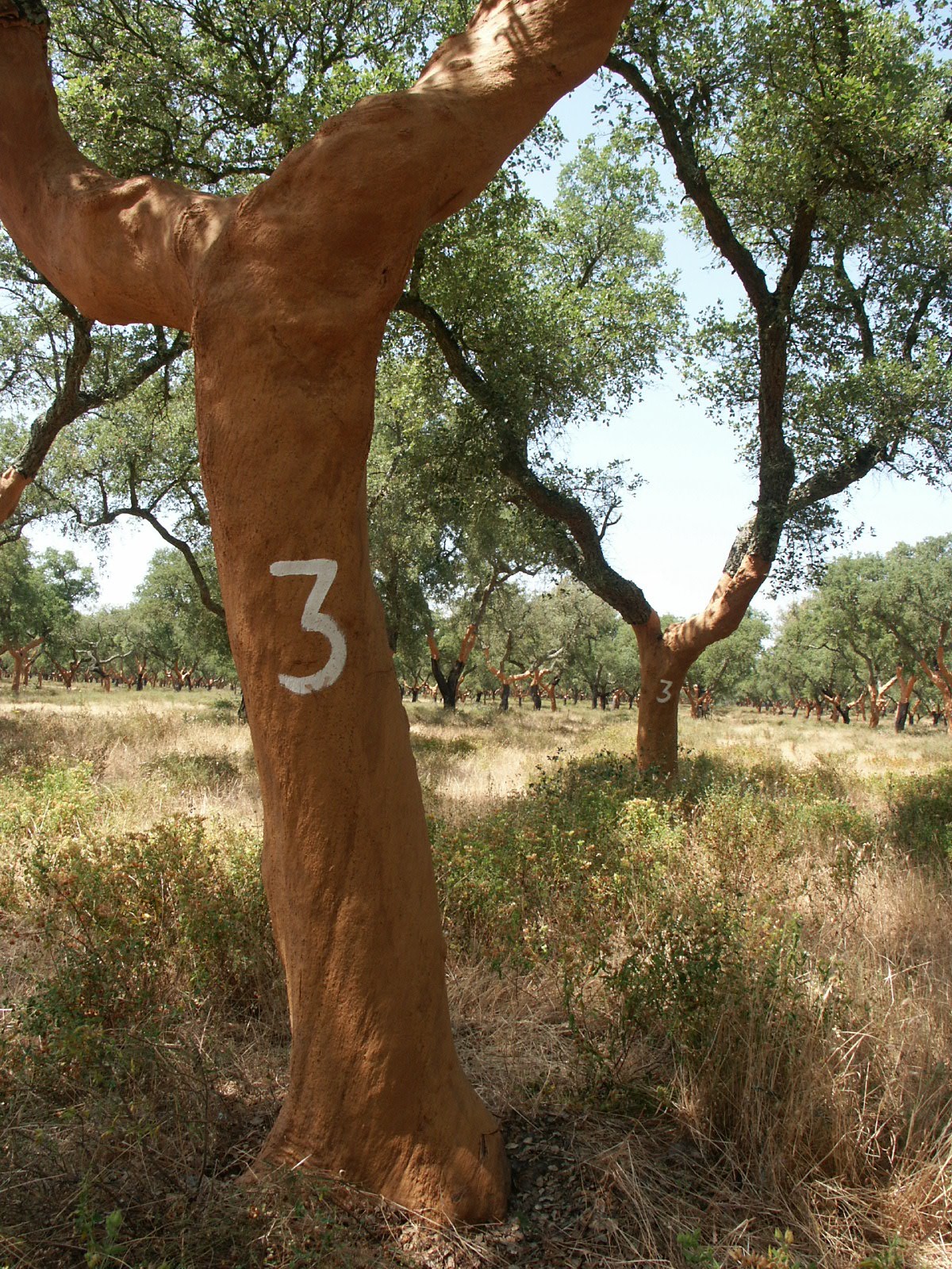
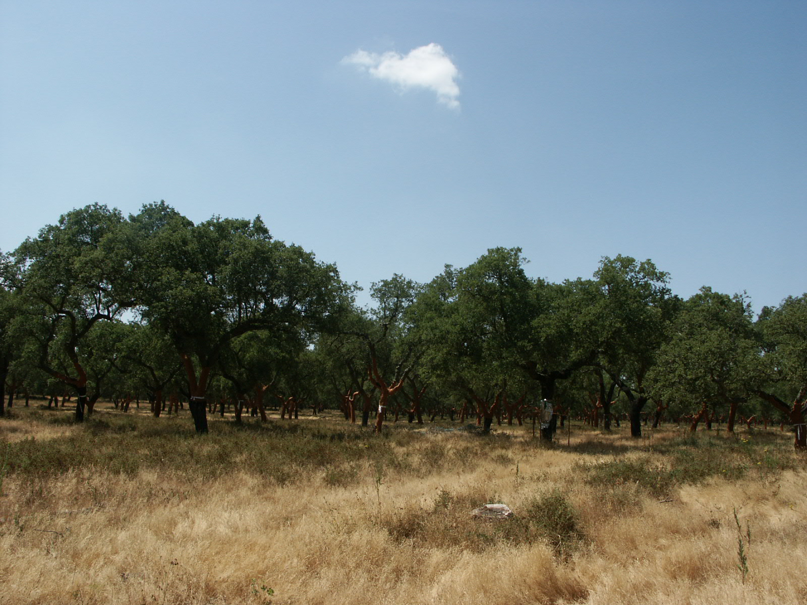
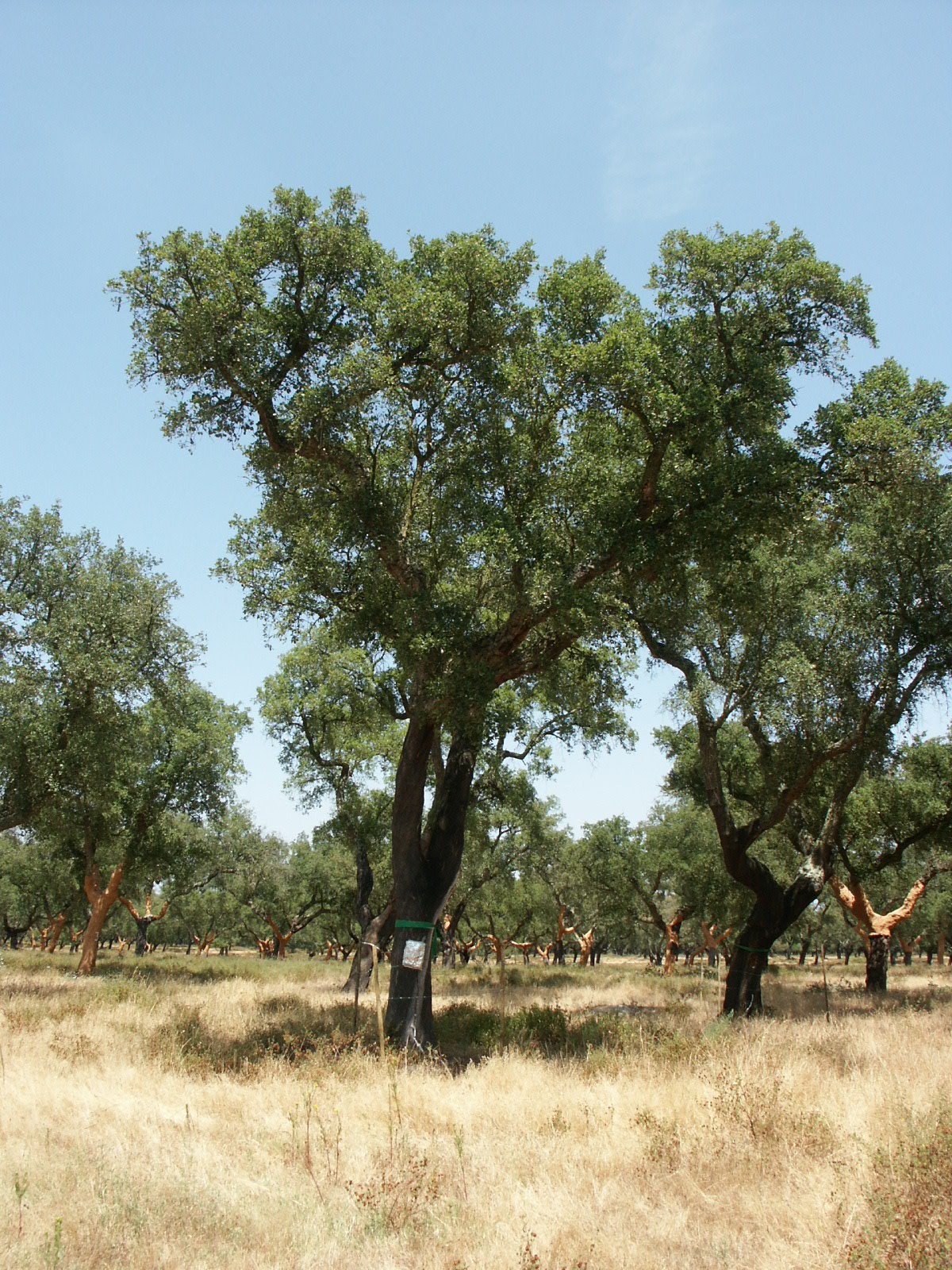
(altitude). The canopy is a cork oak (Quercus suber),
with 80 years, distance
at plantation: aprox. 10 x 11, density: 76 trees/ha in 2001 and 66 in
2003, average height: 10 to 12 m.
38o38' N (latitude), 8o51'
W (longitude), 30 m
(altitude). The canopy is a cork oak (Quercus suber),
with 80 years, distance
at plantation: aprox. 10 x 11, density: 76 trees/ha in 2001 and 66 in
2003, average height: 10 to 12 m.
Climate and soil: Mediterranean
climate
with Atlantic influence. Total precipitation: 750 mm/ year (average 30
years), with
maximum in Winter. Average temperature: 16.1oC, average
minimum
temperature during January: 5.3oC, average
maximum temperature during August: 28.9oC.
Other informations in Reis and Zorro (1981)
and http://www.meteo.pt.
Sandy
soil derived from moderately
deep sandstone, with some gravel, compact, very low carbon content and
available water.
Aerial photos and Maps:
maps of scales 1:25000, 1:50000 and 1:100000 are respectively
numbers
444 (1971) from IGEOE, 35C (1981) and 35 (1978) from IGP (maps and
photos are
also available in other supports, both 2D or 3D, see http://www.igoe.pt,
for instance).
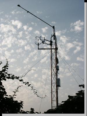
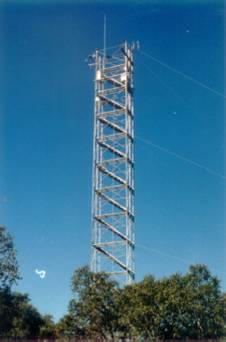
Field site
facilities and
long term information (ISA): tower with 20 m (10 platforms, 2 m
each), at
the center of a fenced area of about 700 m2, installed in
May 2001,
in the frame of WATERUSE project. Precipitation, solar radiation, air
temperature and humidity, wind speed and direction recorded at 15 m
height (automatic weather station).
Components of energy balance, including evapotranspiration, recorded
during
spring-summer periods (also occasionally during the rainy season) and
soil heat
flux permanently since May 03. Transpiration according to Granier
being recorded since April 2001 in 10 points (4 trees) and
from March 2003 in 18 points (10 trees) near the tower. Soil water
content
(neutron probe) followed during spring-summer periods since 2002.
Characterization
of soil and stand performed by ISA team.
Following
the initial visit to the area after the
Kick-off meeting, further surveys led to the establishment of this site
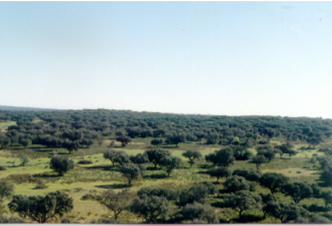
in the montado area at Rio Frio (60 000 ha),
the largest area of cork oak (Quercus
suber) in the Lisbon area. A 20 m mast was ordered and installed
and a 500
m cable for energy supply (220V) installed by May 2001. The site
was chosen to satisfy the project objectives. In particular, the cork
oak
plantation was chosen because it is representative of a very important
land-use
system in large areas of Portugal and other Mediterranean countries, the
site was relatively flat with an extensive fetch in the predominant
wind-direction as is required for micrometeorological measurement
systems, and
some soil and hydrological information was already available from other
surveys.
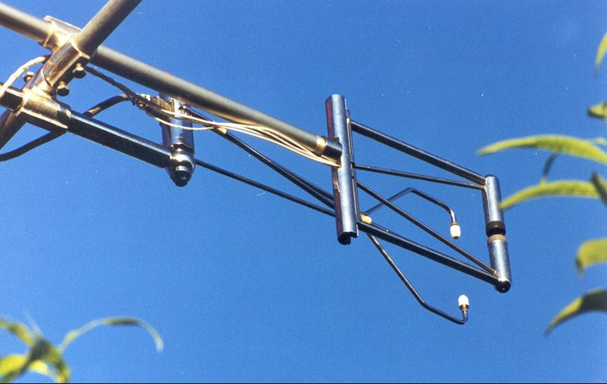
The automatic weather station installed at 15 m high in the
metallic tower included sensors for measurement of (1) solar radiation
(CM6B, Kipp and Zonen, Delft, The Netherlands), (2) dry and wet bulb
temperatures (aspirated psychrometer H301, Vector Instruments, Rhyl, UK
later
replaced by a model made by the University of Innsbruck, Austria), (3)
wind
velocity (anemometer A100R, Vector Instruments, Rhyl, UK), (4) wind
direction
(wind vane W200P, Vector Instruments, Rhyl, UK) and (5) gross rainfall
(tipping-bucket raingauge recorder ARG100, Environmental Measurements,
Gateshead, UK), all recorded at 10-minute intervals in a 21X
data-logger
(Campbell Scientific, Shepshed, UK). This site has been
used for meteorological observations since October 2001.
Sapflow density was
measured from early 2002 onwards by the Granier
method at 18 points on ten Q.
suber
trees. Basal data on sap flow, on meteorological variables (from
October 2001),
and on water vapour fluxes (two weeks) were collected and processed
for 2002, by the Agricultural Eng Department of ISA (coordinator and
students).
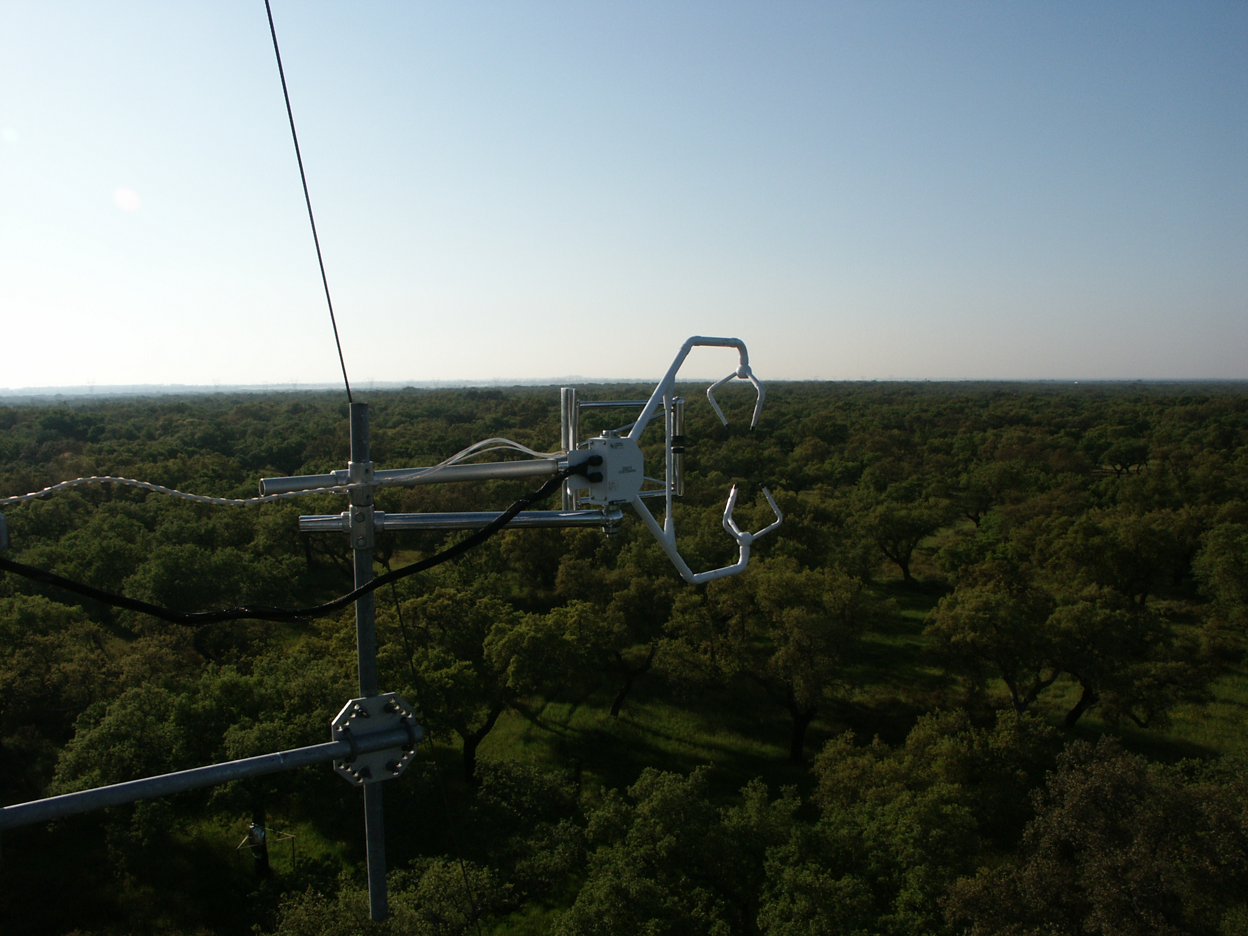
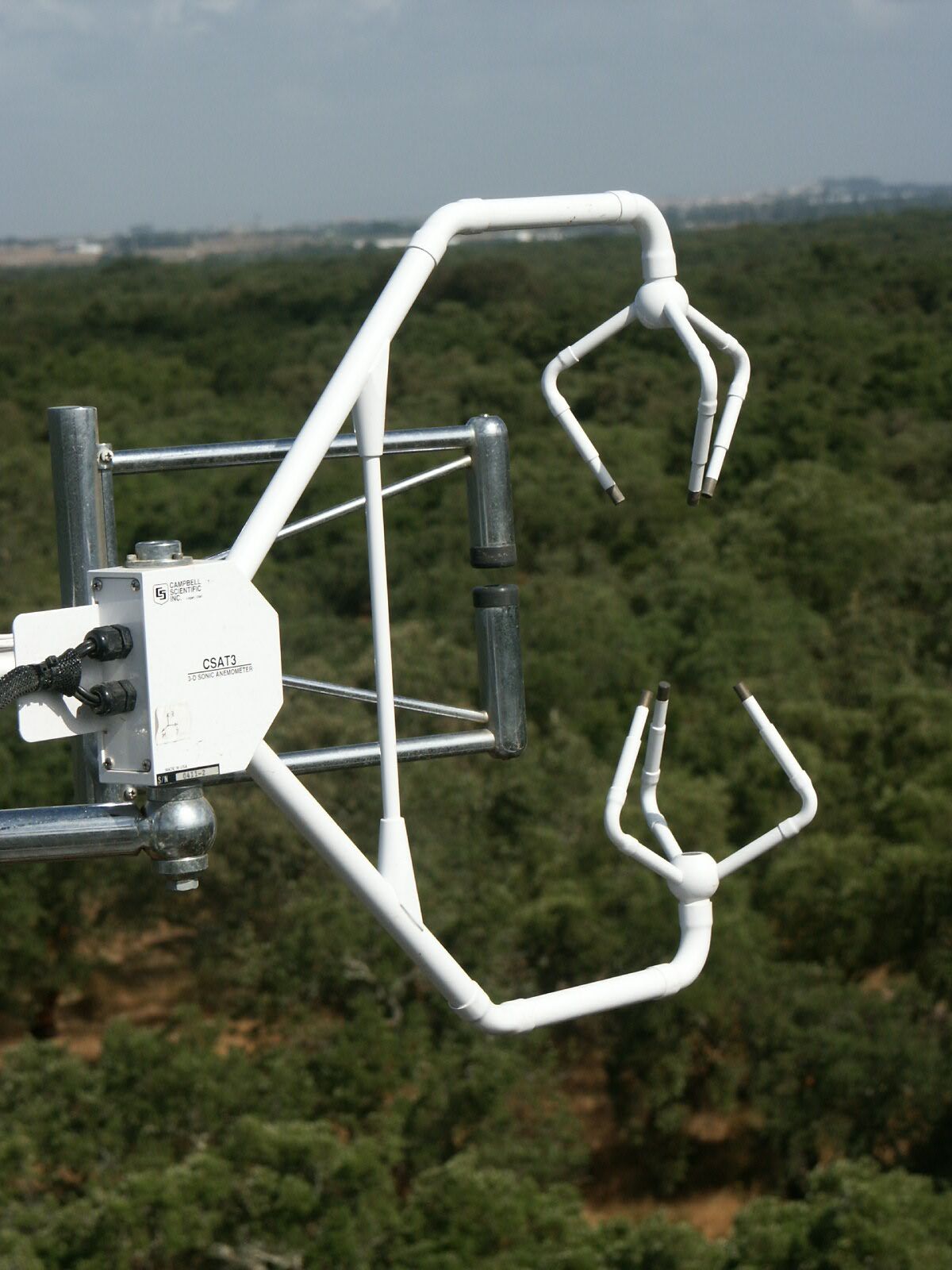
Water vapour fluxes from the
ecosystem were monitored at 17 m high by the eddy
covariance technique using a three dimensional sonic anemometer and a
krypton
fast response hygrometer (respectively CSAT3 e KH20, Campbell Scientific, Inc.
Logan, UT, EUA). Collection
of data was done occasionally from Autumn 2001 onwards (equipment with
limitations under rain and shared with the other field sites), but
mainly in
Spring-Summer 2003.
The density and the
size of trees in the area
(Rio Frio) were also provided. Soil
water content in the root zone (April to August 2002) and soil
characterization
were completed and provided to the WATERUSE team by ISA. Ground
water potential vulnerability (environmental risks - quality changes):
data
collection from literature and from existing information from IDRHa
(former
IHERA), INAG and other services (IGM, studies by ANA) was done by
IDRHa. The
actual density and size of trees were measured in the area under study,
in 2001
and 2003 (some trees were removed in 2002, for health reasons).
Allometric
relationships are difficult to obtain for cork oaks as there is nothing
available in the literature because local laws forbid the cutting or
severe
pruning of cork oaks), so mobile platforms were used. Several independent surveys of parts of
the area to estimate leaf area
index of both the trees and the distribution of ground-cover vegetation
were
conducted by Partners 1, 4, 5 and 7, using equipment such as an LAI2000
and a
Sunscan.
A last aspect of characterization
was related to health conditions of
trees. Several specialists
were contacted. After visits to the site,
observations and analysis, a report was
provided. In conclusion, the identified insects attacking leaves in
late Spring
were Lymantria díspar and Periclista andrei. The fungus diseases Biscogniauxia mediterrânea and Endothiella gyros, which are the most common problems in
Montado stands were not found.
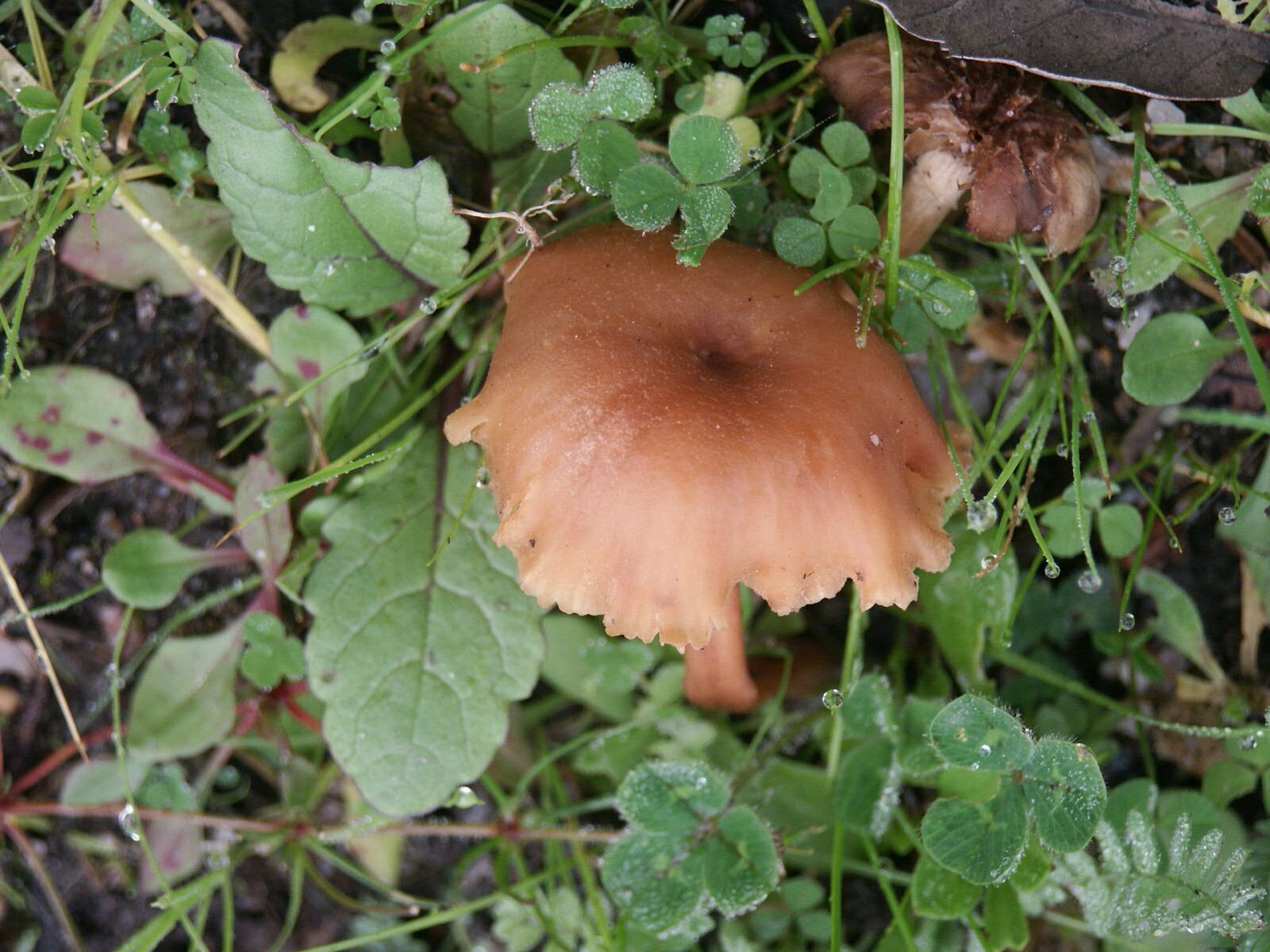
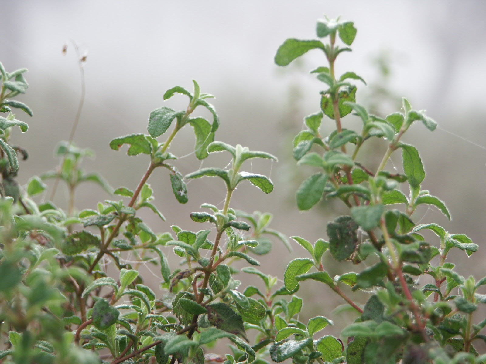
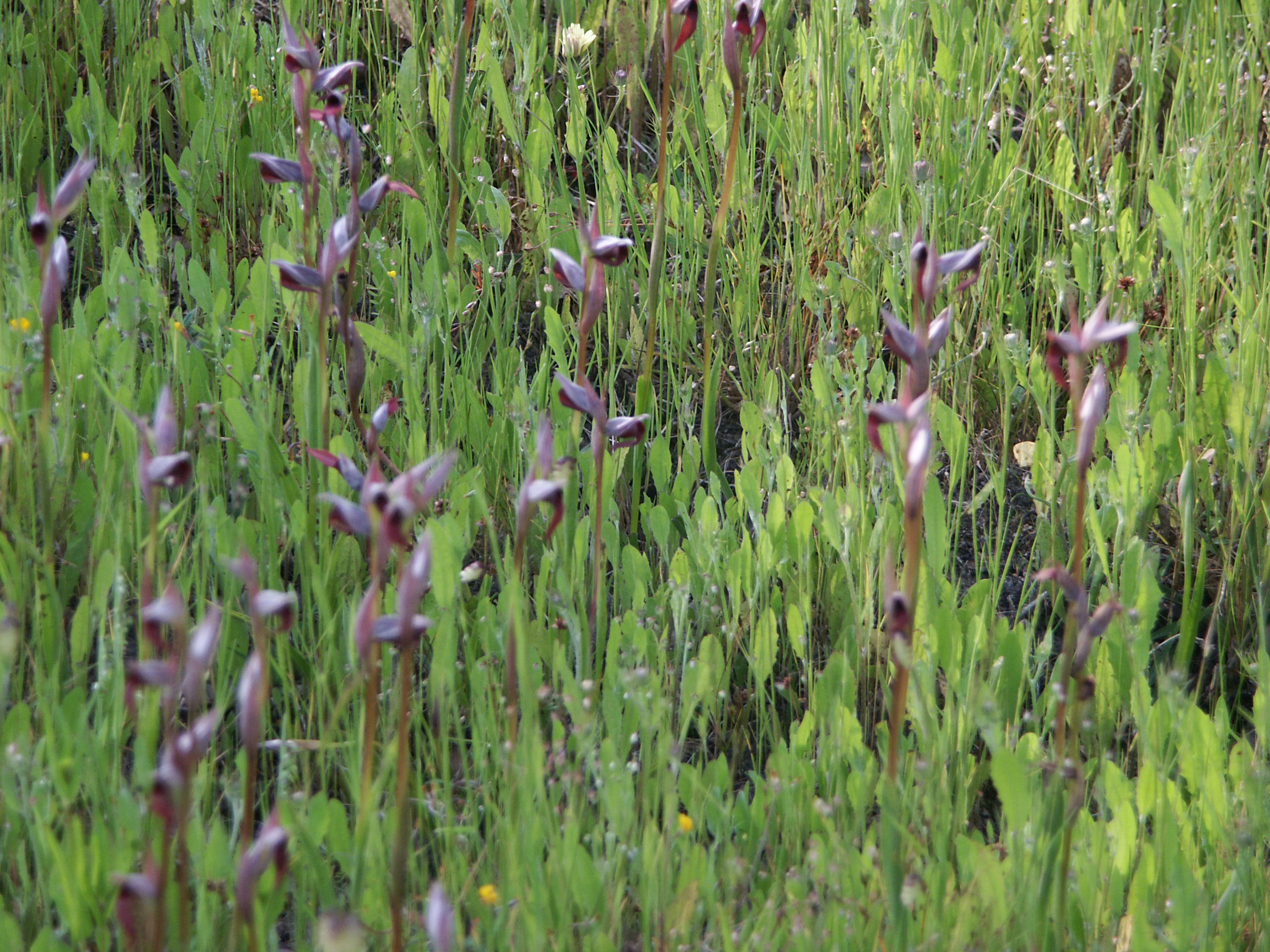
The montado during Winter:
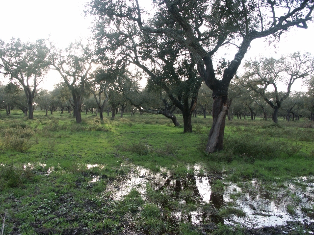
The montado understorey
during Winter:
The montado understorey during Spring:
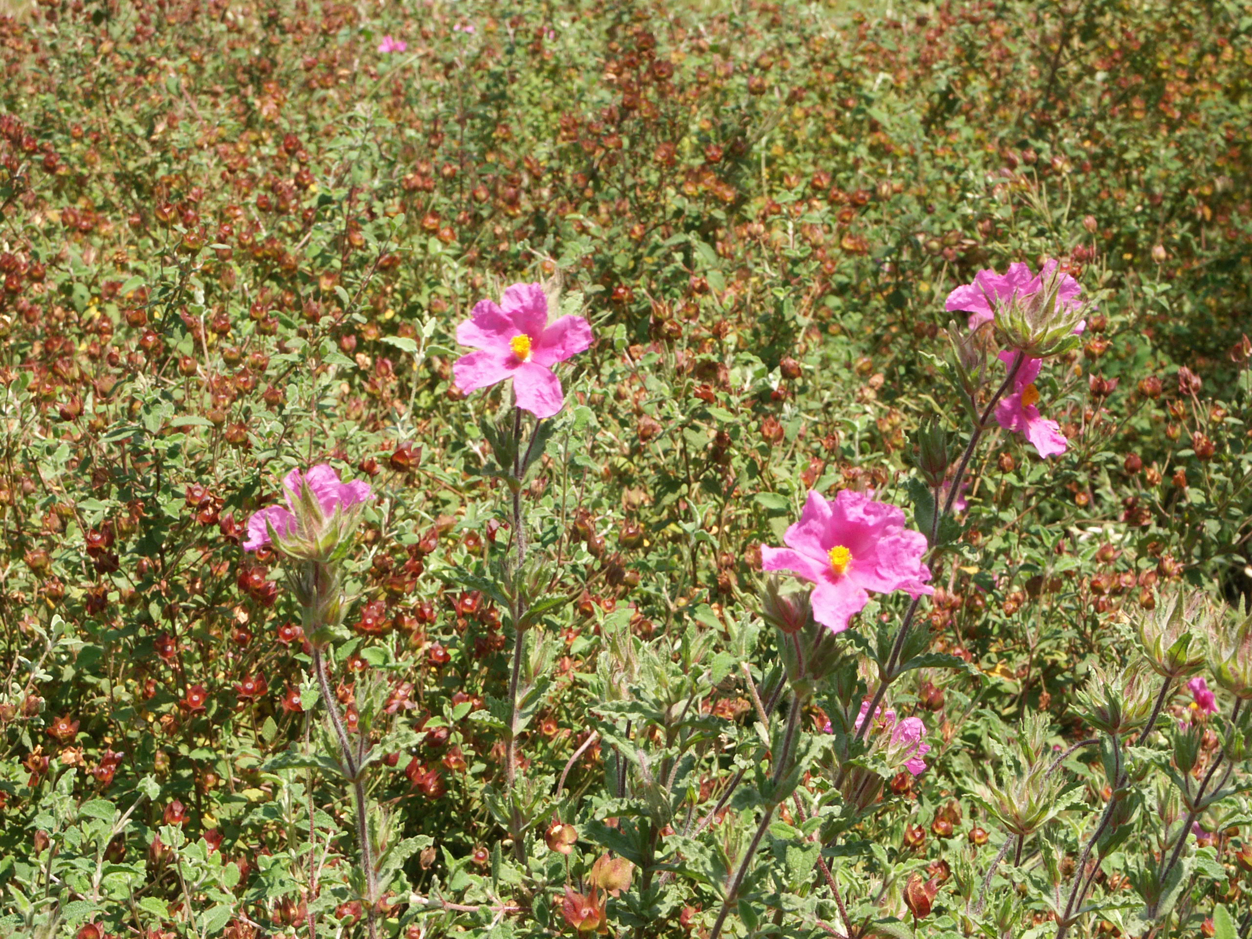
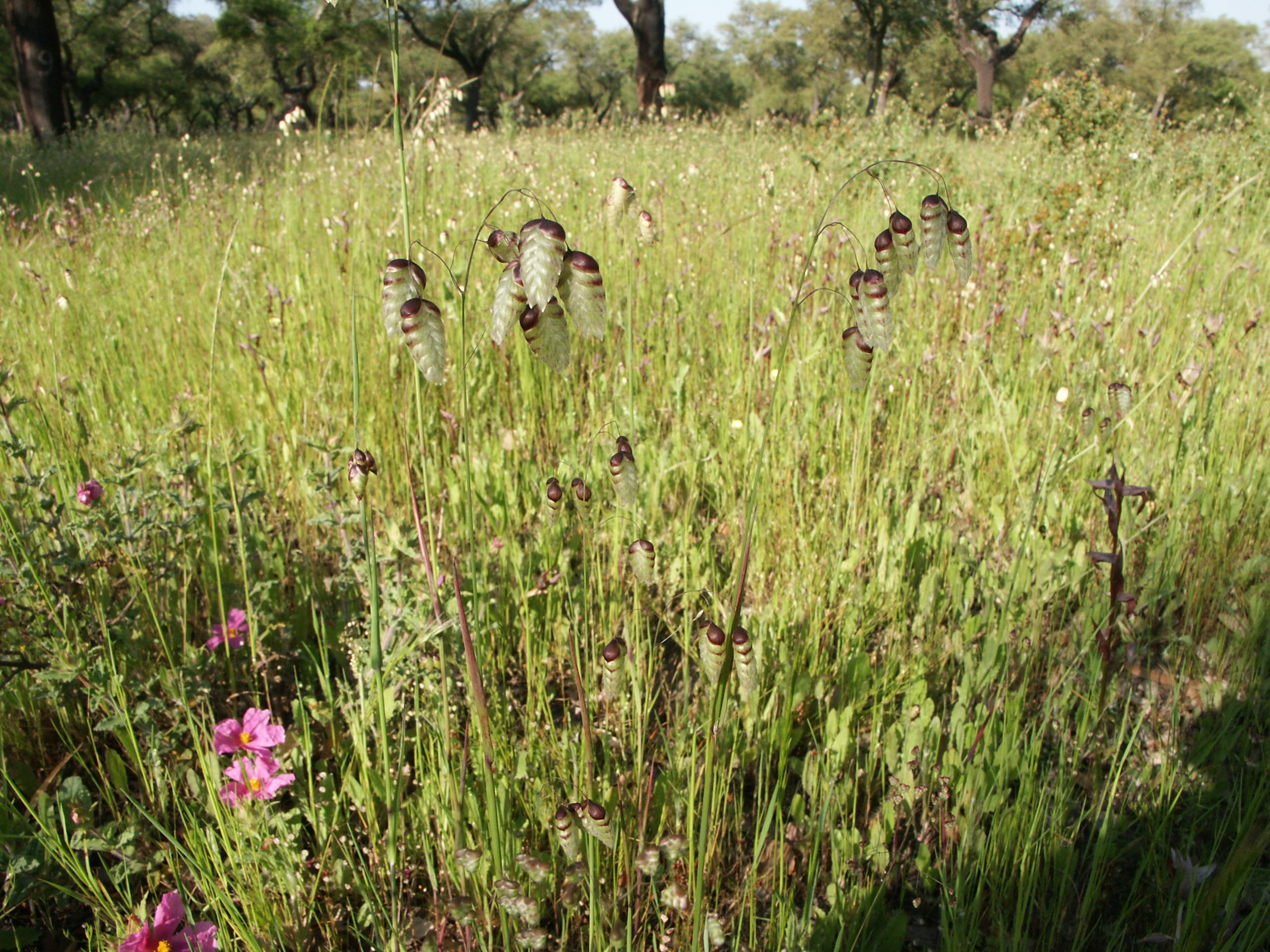
Cistus crispus L.
Briza sp.
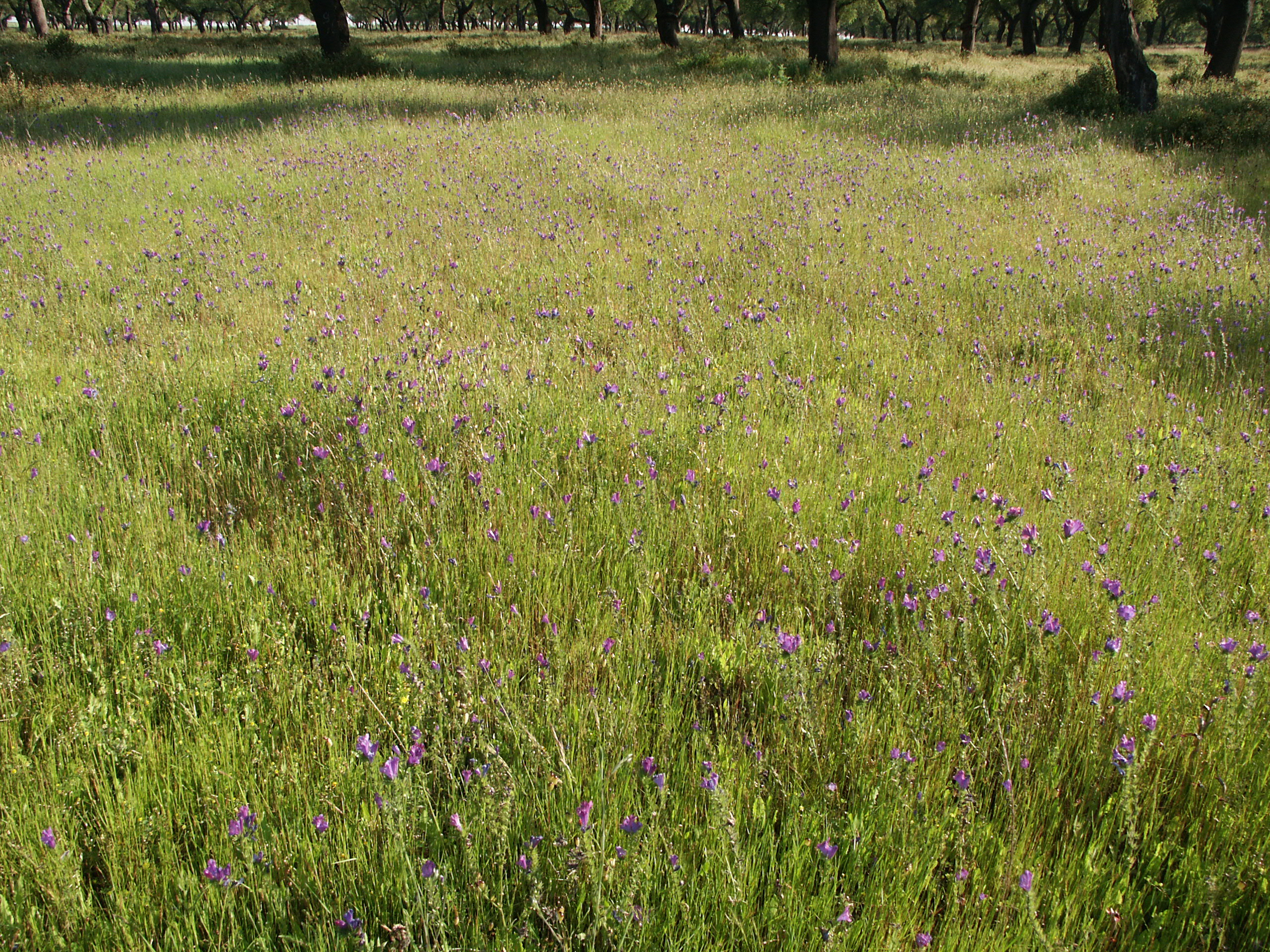
Echium plantagineum L.
References:
M. Reis
and Zorro 1981.
Caracterização climática da região
agrícola do Ribatejo e Oeste. Fasc XXXII. O Clima de Portugal, INMG, Lisboa.
ÉVORA
FIELD SITE
A
valuable
complementary set of information on another Montado
stand was obtained at a site near Evora, Alentejo. This site on the
University farm at Mitra is at
38º32’26” N, 8º00’01” W, 243 m asl, and lies some 150 km
southeast of Lisbon. Site
topography
is slightly undulating with vegetation consisting of a sparse and
scattered Q. rotundifolia stand, with 35-45 trees
ha-1, with spots of Quercus
suber. The wide and shallow shape of the crowns reflects the
traditional
pruning performed to increase fruit production and shadow for cattle.
The
understory consists of a mixture of shrubs and grasses, dominated by Cistus spp., grazed by cattle. The
climate is of the Mediterranean type, with hot and dry summers.
According to
long-term averages (1951-1980), mean annual rainfall is 665 mm (90% of
which
falls from autumn to early spring) and mean annual open water
evaporation is
1760 mm (INMG, 1991). Mean annual air temperature is 15 ºC,
ranging from 8.6 ºC
in January to 23.1 ºC in August. The soil is a very shallow sandy
Cambisol
(FAO, 1988) overlying a gneiss rock. Soil water retention capacity is
rather
low. An automatic weather station was installed on the top of a 25 m
high
metallic tower giving data on: solar radiation (CM6B, Kipp and Zonen,
Delft,
The Netherlands), dry and wet bulb temperatures (aspirated psychrometer
H301,
Vector Instruments, Rhyl, UK), wind velocity (anemometer A100R, Vector
Instruments, Rhyl, UK), wind direction (wind vane W200P, Vector
Instruments,
Rhyl, UK) and gross rainfall (tipping-bucket raingauge recorder ARG100,
Environmental Measurements, Gateshead, UK). These data were recorded at
10-minute intervals in a CR10 data-logger (Campbell Scientific, Shepshed, UK).
Sapflow density
was measured by the Granier method in
a sample of 8 Q. rotundifolia trees
and of 3 Q. suber trees. Meteorological
and sapflow data are available at 10 min intervals. Water vapour fluxes
from
the ecosystem were monitored by the eddy covariance technique using a
three
dimensional sonic anemometer (R3A, Gill Instruments, UK) and a
krypton
fast response hygrometer (Campbell Scientific).
The measurements at
this site were conducted largely in the frame of Project INIA-PIDDAC
216/01
with collaboration of the ISA Forestry Department.
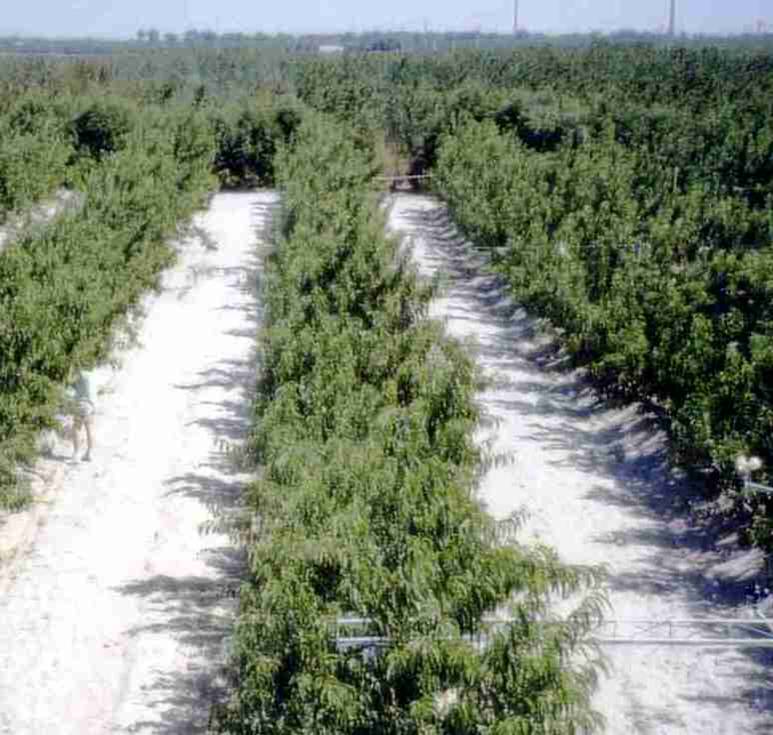
ATALAIA FIELD SITE
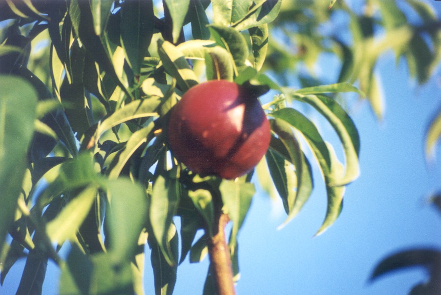 Peach orchard- already under
study in
the past, (see Acta Horticulturae,
537, several papers).
Peach orchard- already under
study in
the past, (see Acta Horticulturae,
537, several papers).
This orchard (5 m x
2 m, sandy soil, 50 km east from Lisbon, drip
irrigated, ground cover 30%) has an area of about 8 ha and is located
near the road, 15 km from
Montijo (to the East). Results from
a similar orchard in the same area can be found in Acta
Horticulturae, 449
(2): 379-384.
The orchard was used
during experiments in Summer 2001 and was cut soon after (the measurements made in this site have
finished in August 2001, as the
orchard
has been replaced by a vineyard).These
destructive measurements were particularly helpful in achieving aims of
the
project. These observations
were used in WP1, WP2 and WP4. Some of them were
also partially included in a Ph D thesis by Paço
(2003),
completing a set of
measurements initiated in 1998, on water use of this orchard (see WP7),
in the
frame of the project FAIR1-CT95-0030
(concluded
in 2000). Further details can be found there and also in first
publications
submitted.


Paço, M. T. G. A. (2003).
Modelação da
evapotranspiração em cobertos descontínuos -
Programação da rega em pomar de
pessegueiro. Ph. D. thesis , Universidade Técnica de Lisboa,
Instituto Superior
de Agronomia, Lisboa, 225 p.
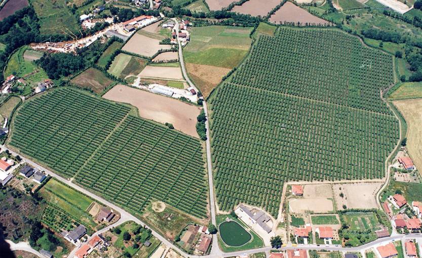
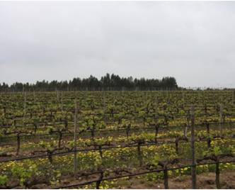
PALMELA FIELD SITE
VINEYARD at Palmela
(Setubal, Portugal).
This
new experimental site was established with an
area of around 300 ha and was excellently situated for eddy covariance
studies.
The vineyard was irrigated by a drip-irrigation system. Tubes with
emitters
every 1-meter were fixed at a height of 0.5 m above ground. Training
system is
bilateral cordon. The distance between rows is 2.8 m, and between
plants is 1.2
m. In this vineyard a plot of 3 ha from the variety Syrah was chosen
and a sub
parcel was considered for irrigation essays. Meteorological variables
measured
were air temperature and humidity, wind velocity, global and net
radiation.
Heat flux plates and soil temperature profile measured soil heat flux.
Soil
moisture was monitored with thetaprobes in the two situations and also
TDR
probes for the sub parcel. At the installation of soil probes a soil
profile
description was made. Sap flow was measured by a thermal heat
dissipation
method (Granier method). Predawn leaf water potential was also
monitored during Spring-Summer 2001. This site provided
measurements
from 1996 onwards (national former projects), and data were used within
the
frame of the WATERUSE programme to provide data on a regularly
distributed
vegetation to complement the other vegetations studied. Results were
analysed
and presented in a Ph D Thesis, (Silvestre, 2003),
under the orientation of the
WATERUSE project co-ordinator.
Silvestre,
J. (2003). Evapotranspiração e
Funcionamento Hídrico em Vitis vinifera L. Ph. D.
thesis, Universidade Técnica de
Lisboa, Instituto Superior de Agronomia, Lisboa, 219 p.
SAFARA
FIELD SITE
OLIVE
orchard at Safara (Beja, Portugal). The orchard (4 m x 6.5
m) is irrigated and managed by
COTR. It is located near the frontier with Spain and the
new
Alqueva dam (and future irrigated area), in the driest and warmest area
of Portugal. There is a big
pressure from users, in order to obtain information about water use and
irrigation scheduling and impacts. A standard meteorological station
has been
installed by COTR during 2001, near the orchard, in the frame of their
activities. The trees were selected by ISA for sap flow (transpiration)
measurements (possibly under different irrigation conditions) after
early
Spring 2002. The relevant characterization of soil made by ISA and was
ready in
early 2002. The first step of transfer of knowledge to COTR was to be
linked to
the preparation of young engineers for the task of following those
measurements. This task has been transferred to colleagues from ESAB/UE
(in the same region), who proceeded with extra funding and scientific
assistance of ISA, as
required.
CALDAS DAS TAIPAS
FIELD SITE
Kiwi orchard at Caldas das Taipas
(Guimarães,
Portugal). Useful data were also
obtained for a new
experimental site (set up in collaboration with AGRO 8.1 – Project 288)
on Kiwi
vine – Var. ‘Hayward’. The plantation
distance of 5 x 5 meters (T – bar training system) and irrigated with
micro
sprinklers. The experimental site is near Guimarães (41º
31’ N, 8º 27’ W). ET
was measured with the eddy covariance technique, transpiration (T) was
measured
by sap flow and the understorey water losses were measured by
microlysimeters.
Sap flow measurements started at the beginning of the 2002 vegetative
cycle.
During 2003, ET and Es measurements were used to adjust T estimates,
upscaling
the sap flow measurements to the stand level.